Hiking Montara Mountain
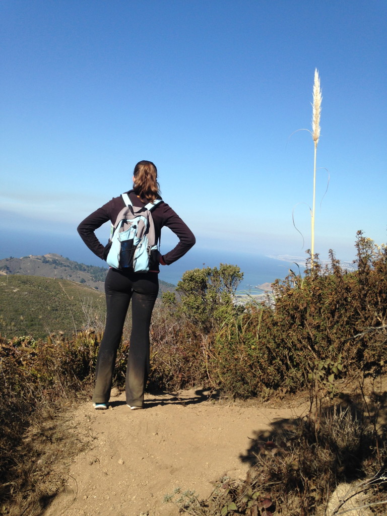
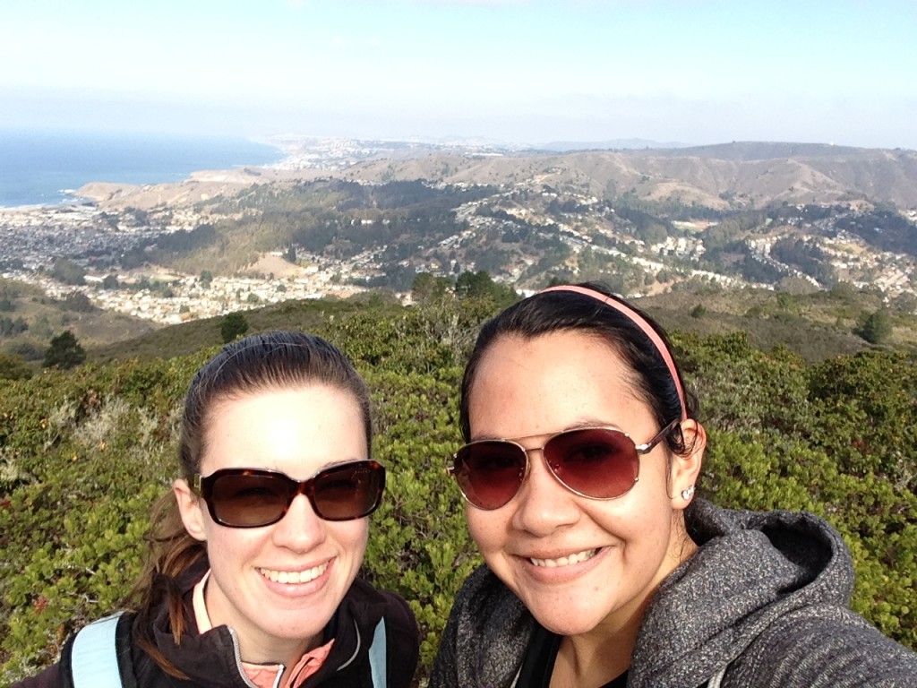
In the last few months of college my roommate and I took to exploring the local hiking trails. But once we packed up and (temporarily) split up, we stopped. With some extra time and the excuse of good weather before winter really sets in we decided to hike the hills of my home town.
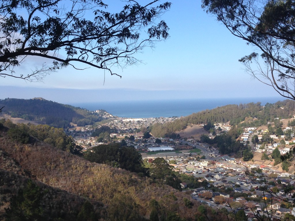
Despite living walking distance away for most of my life, it’s been years since I have hiked Montara Mountain. It’s one of those hikes that on paper seems like a great idea, but in the midst of it you question your sanity and your ability to make it home. The unmarked trails at the summit make it easy to accidentally end up on the wrong side of the mountain leaving you cold and stranded near Montara Beach (a few miles from Half Moon Bay).
I was even more hesitant to do the trail because I have in fact gotten lost and ended up on the wrong side (in my defense I was 5 or 6 and with my mom and brother, so not really my fault). Because I only had a 50 percent success rate for this particular hike I decided to grab a map from the information center before we hit the trail. I flipped it open, saw the name of the trail we were going to do and shoved it into my backpack.
For the first half of the trail I went by memory and a single sign to keep us on track. The trail winds its way up the mountain, so there were a few times where I wasn’t quite sure we were on the right path. When we reached the summit there is a fire road that runs along the top of the mountain. I remembered this from when I did the hike two years ago, and I knew the next trail we needed to grab branched off of it to our right.
We got to a break in the foliage and I stood looking at what I was pretty sure was where we needed to go. I just had that feeling that I had been there before and questioned this very spot, but took the trail and ended up where I needed to be. I was fairly certain I was right until I opened the map and realized that the trail we were on disappears off the map a mile or two before the point we were at. On top of that, an intense looking runner came by and asked if we needed help (not only did we look slightly pathetic, but I was holding up the map and loudly saying “Let me orient myself” and lining up the edges with the coastline like an insane person). He convinced me that we had passed the path I was looking for and sent us back up the fire road .3 miles. But when we got to the point he was talking about we realized that he was referring to the path we came from, not the one we were hoping to catch.
Despite being tired and hungry, we laughed and turned around to head back to the spot we were at before. My ever faithful roommate put her trust in me (and my insane ramblings about why this had to be the right path) and we set off on one of the craziest, desolate trails we have journeyed together.
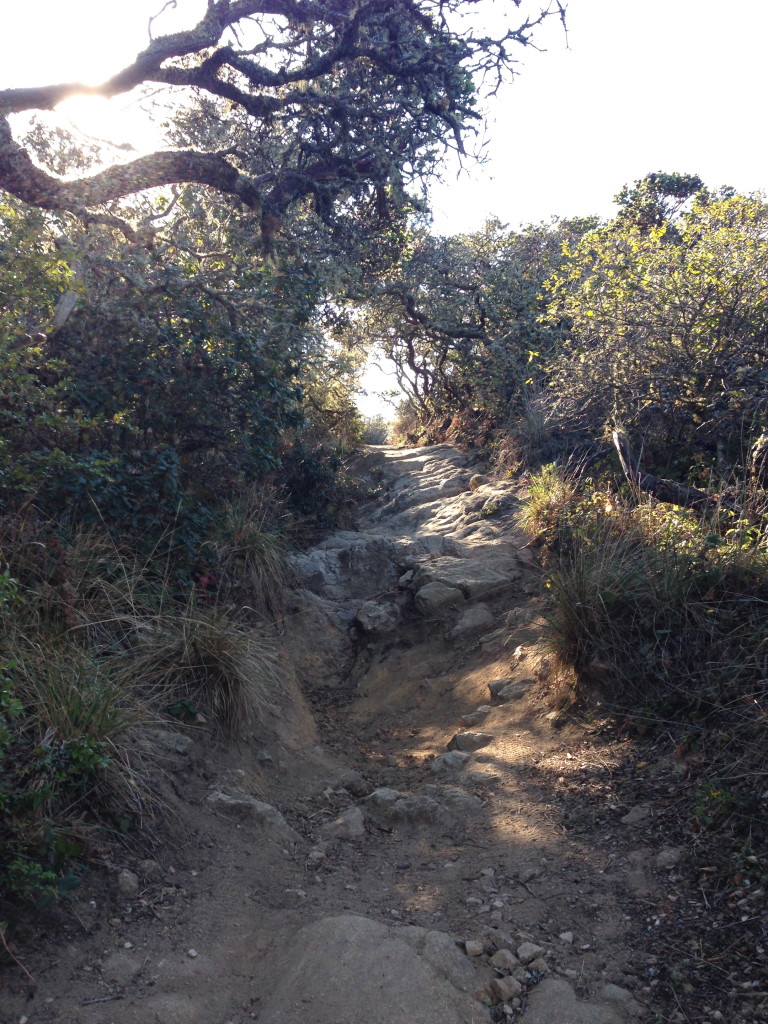
There were parts of the trail that had completely washed out. Despite being made fun of constantly for being short (let the record show I am in fact of average height), even I had to hunker down to avoid the low-hanging foliage. We climbed, crawled, arm-flailed and slid our way down the mountain. In about 45 minutes we only saw two people and a dog who were climbing up the mountain (the humans carrying their mountain bikes). It was slightly eerie in a “we could easily die here and it would months before we were found” kind of way and also exhilarating. At one point while climbing down another massively washed out portion of the trail my roommate proclaimed “I feel like Katniss.”
After a few more “I swear it’s this way”s, we stepped out of the eucalyptus trees back into civilization after four hours of fending for ourselves and finding our own way.


